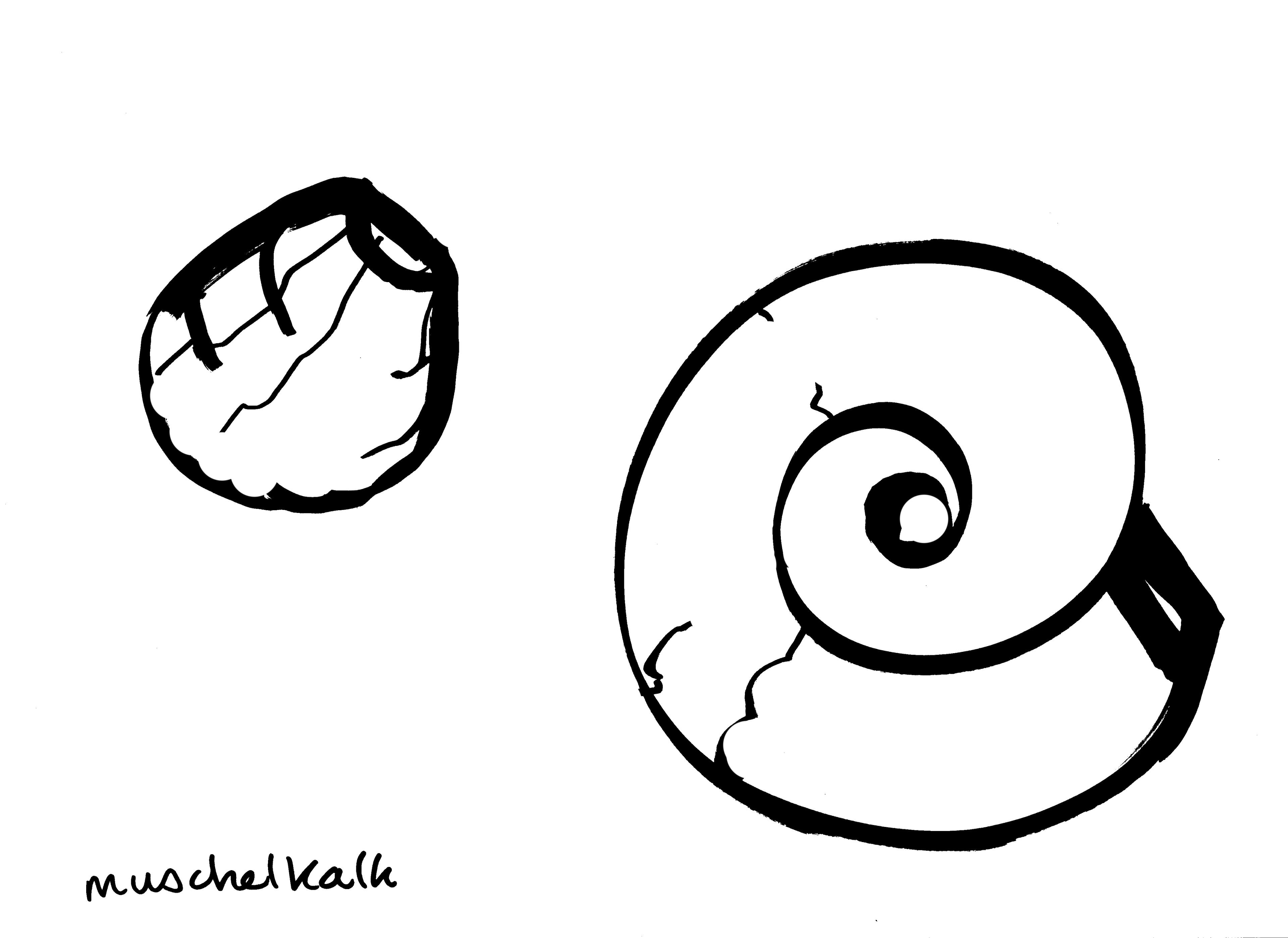
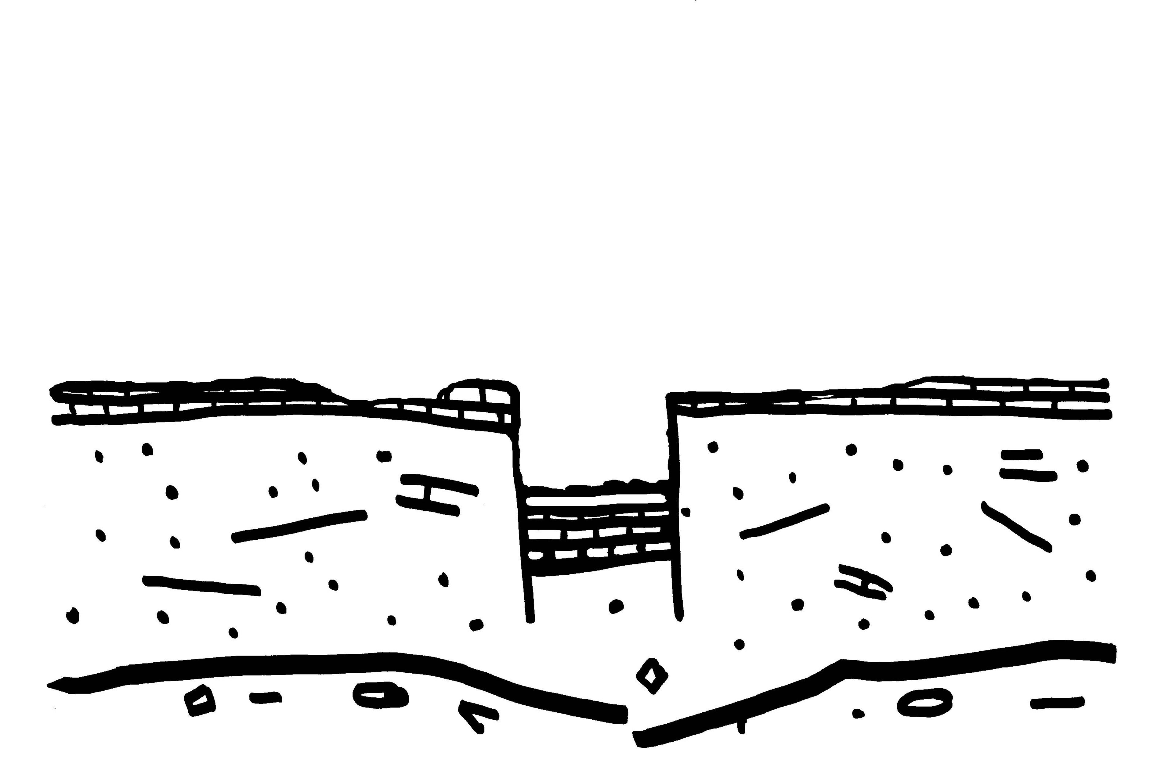
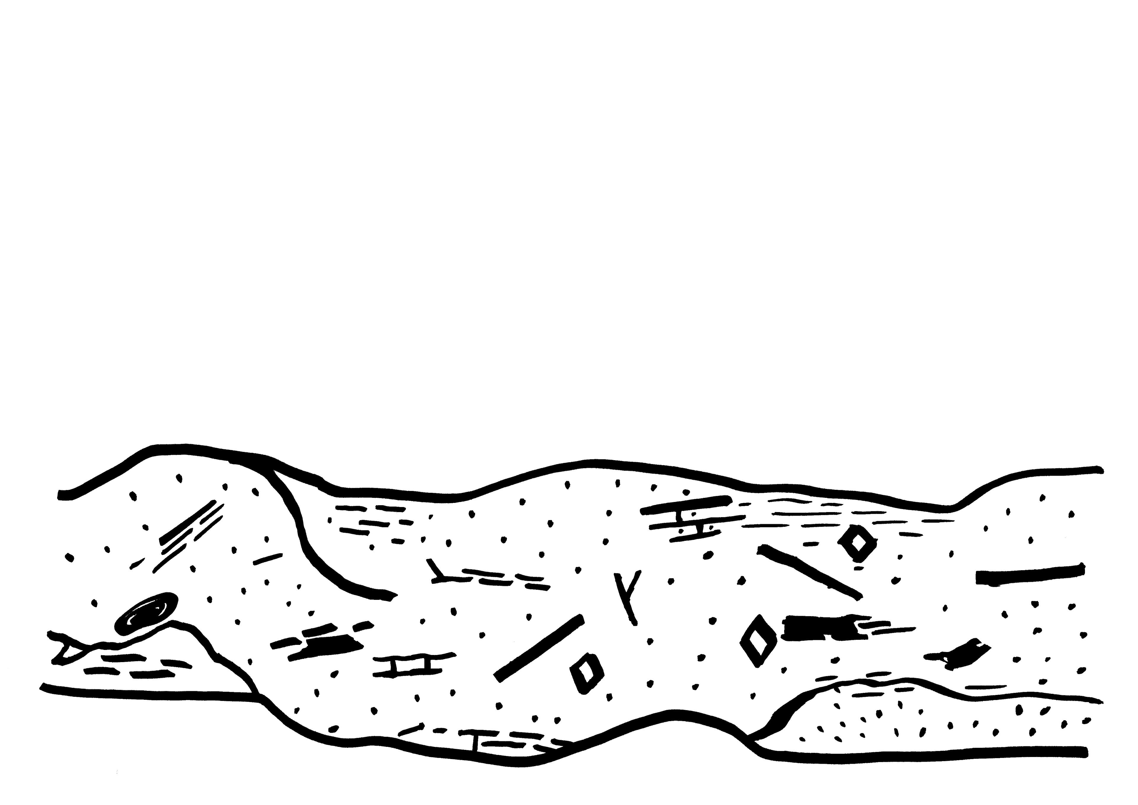
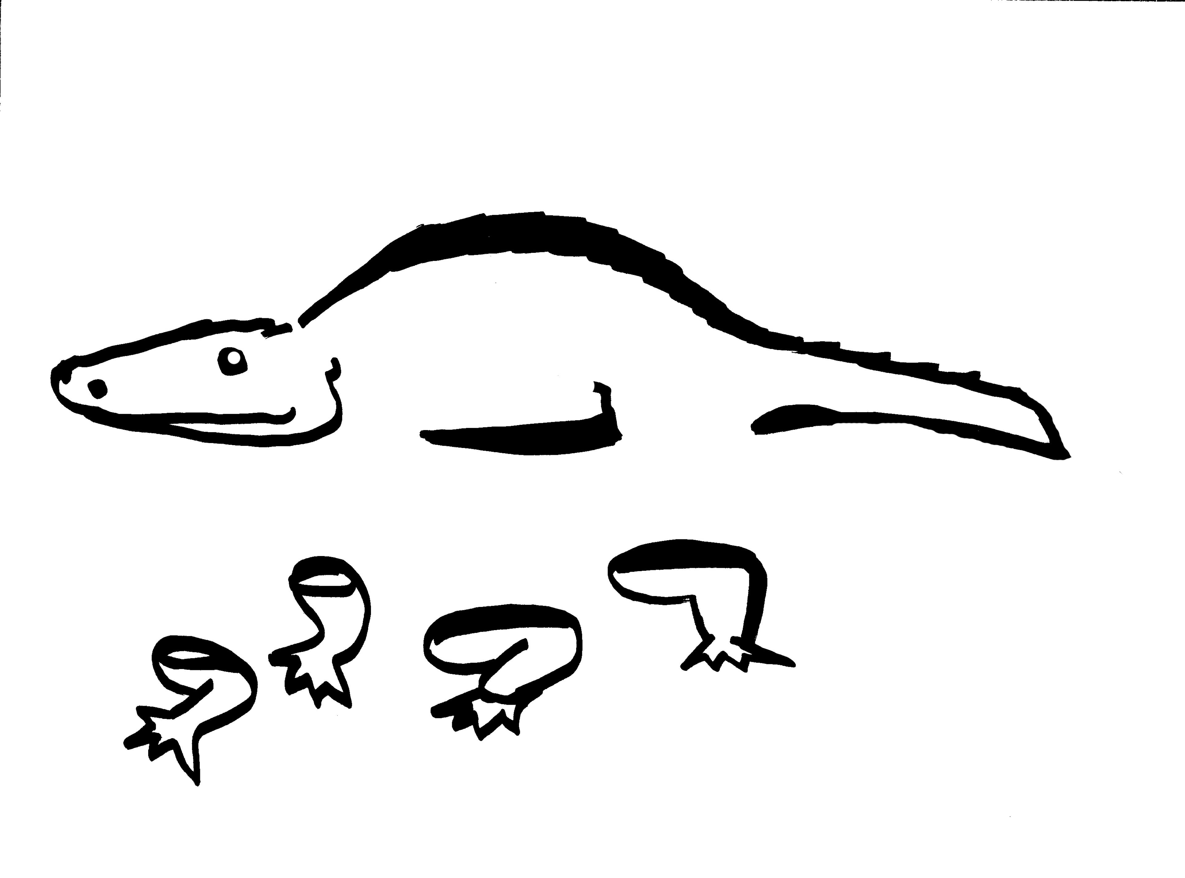
Geological Drawing

Geological drawings follow an universal visual language and are mostly used as scientific tools. Rural School of Economics uses geological drawings to understand the geological evolution of a place where we work, to its impact on current land use and dominant economies, such as agriculture, oil and mining. The Geological Drawing is using Geological Time Scale (GTS) which starts millions of year before the human age. The drawings are always made in close collaboration with local geologists. Geological maps show a vertical slice through the earth, revealing what the underlying geologic structure looks like. The drawings follow a universal visual language and are mostly used as scientific tools. Myvillages uses geological drawings way to understand the geological evolution of a place where we work, to its impact on current land use and dominant economies, such as agriculture, oil or mining. The Geological Drawing of a place is thus a self-portrait using Geologic Time Scale (GTS) which starts millions of year before the human age. The drawings are always made in close collaboration with local geologists. With geological animations like the Zvizzchi animation, the geological history of the village, river, farms and institutes is visualized.

drawing by Wapke Feenstra for "Der vertikale Erdkilometer" animation - made for Lumbung documenta fifteen - to show the geological layers of Kassel
Thorax
drawing by Wapke Feenstra for "Der vertikale Erdkilometer" animation - made for Lumbung documenta fifteen - to show the geological layers of Kassel